Photogrammetry workflow for capturing Matterhorn !
Uploading and Loding Picture ...(0/1)
o(^-^)o
fansb8b222f3
lvl.4
Flight distance : 74213 ft
Sweden
Offline


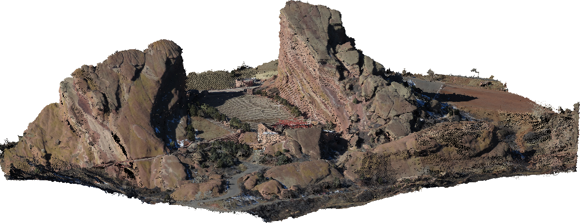
Has anyone been able to capture any large area with GSP ,

Would this be possible to capture with GSP + Mavic Pro ?


https://m.youtube.com/watch?v=NuZUSe87miY


How would you setup the mission planning ?


Feel free to input with thoughts and ideas

I really like to do a bench mark Scan like this.

Johan

2017-7-29
Use props
fansb8b222f3
lvl.4
Flight distance : 74213 ft
Sweden
Offline

No ideas ? Bump bump
2017-8-2
Use props
DroneMapper
lvl.3
Flight distance : 6880 ft
United States
Offline

Hello,
Here is what I would do if possible. I would use Map Pilot to capture a grid/lawn mower pattern above Matterhorn with 80% overlap. Then use an application like GSpro or Litchi to capture at least 3 different complete orbit/oblique flights. You can then use RAPID for DJI or our more advanced software to process a digital elevation model or true 3d model with the imagery. Examples here: https://dronemapper.com/sample_data


Take a look at DroneMapper.com for more details and/or help.
Thanks

2017-8-24
Use props
Advanced
You need to log in before you can reply Login | Register now

Credit Rules