*"Best" software for Photogrammetry ? *
Uploading and Loding Picture ...(0/1)
o(^-^)o
fansb8b222f3
lvl.4
Flight distance : 74213 ft
Sweden
Offline


Hi fellow drone:ers !


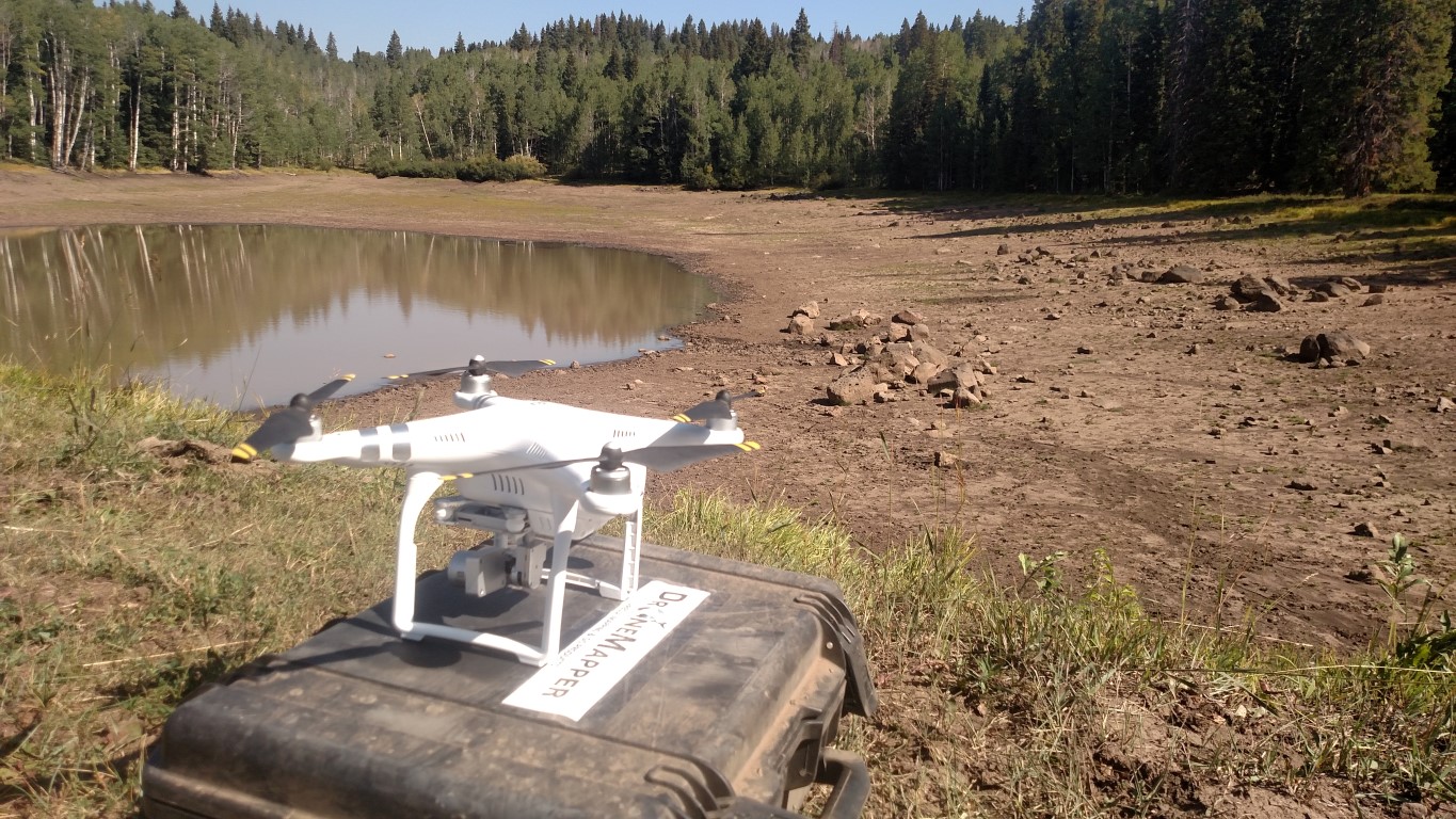
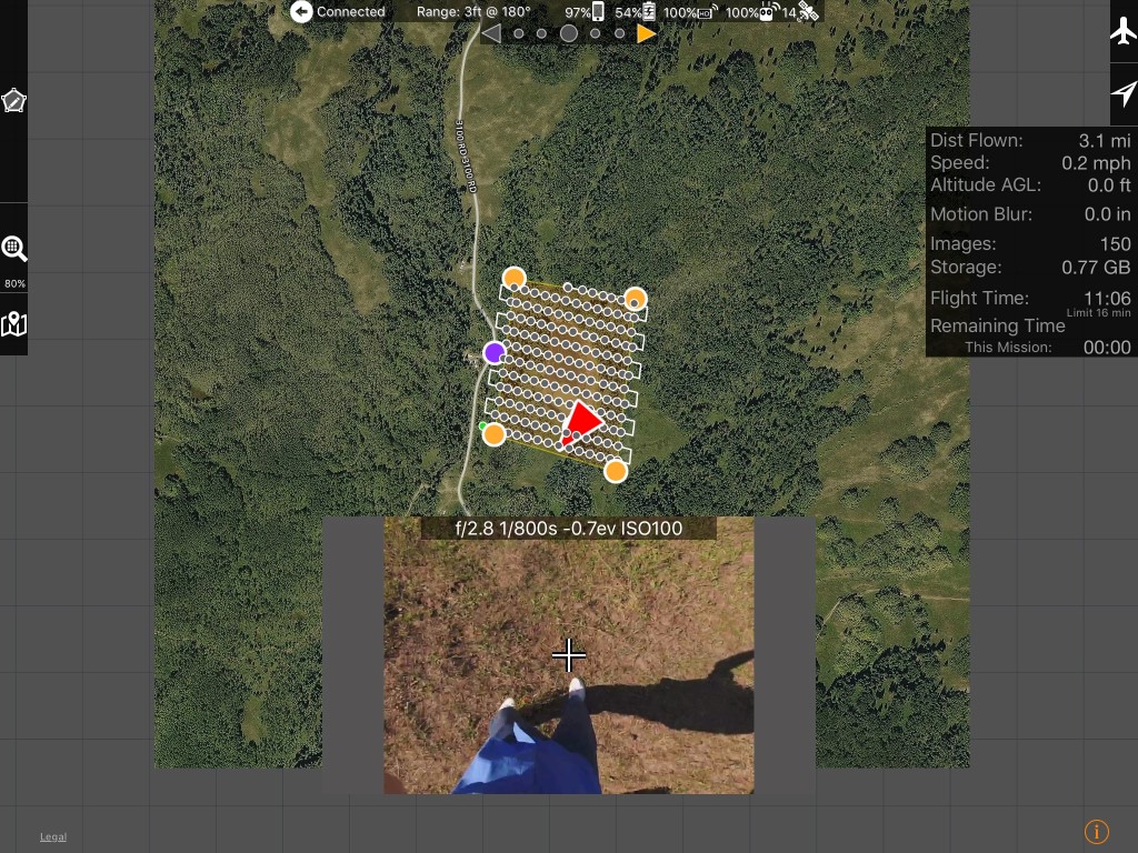
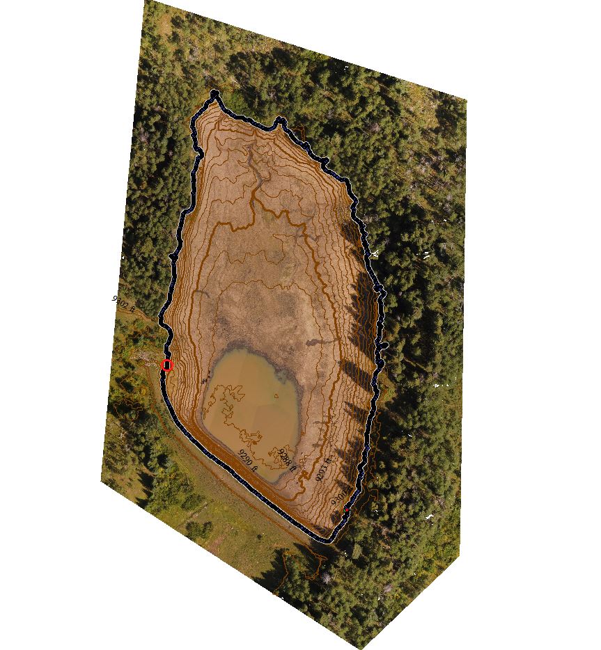
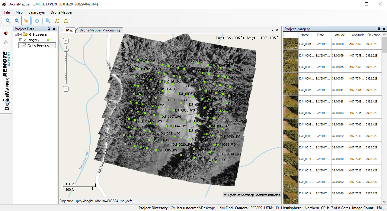
What is the best software to use for Photogrammetry missions.


What I would like to see is support for :

RAW photos
Auto focus before each photo is taken
Pause drone flight before each photo
99 Waypoint limit workaround

Its been a struggle so far and something always gets screwed up, blurry images, JPG format , missing photos,
resume mission doesnt start etc.

Its frustrating when spending so much money on the drone to find all limitations is software related.

How do you guys deal with the issues I find blockning me from getting good quality scans.


2017-9-7
Use props
DroneMapper
lvl.3
Flight distance : 6880 ft
United States
Offline

We recommend using Map Pilot for iOS if possible for imagery collection and mission management. We've been using version 1.5.0 for over a year now with great results. Here are the exact versions we use for remote/off grid mapping:

Phantom 3 Advanced Firmware: 1.8.10
MapPilot Version: 1.5.0 build 031916
DJI Go App Version: 2.8.6
Ipad Mini4 iOS Version: 9.3.3
Remote Expert Version: v0.8 b20170829-842 x64
Global Mapper Version: v18


More details in our blog
2017-9-7
Use props
fansb8b222f3
lvl.4
Flight distance : 74213 ft
Sweden
Offline

Great ! Thanks for the reply
2017-9-9
Use props
Advanced
You need to log in before you can reply Login | Register now

Credit Rules