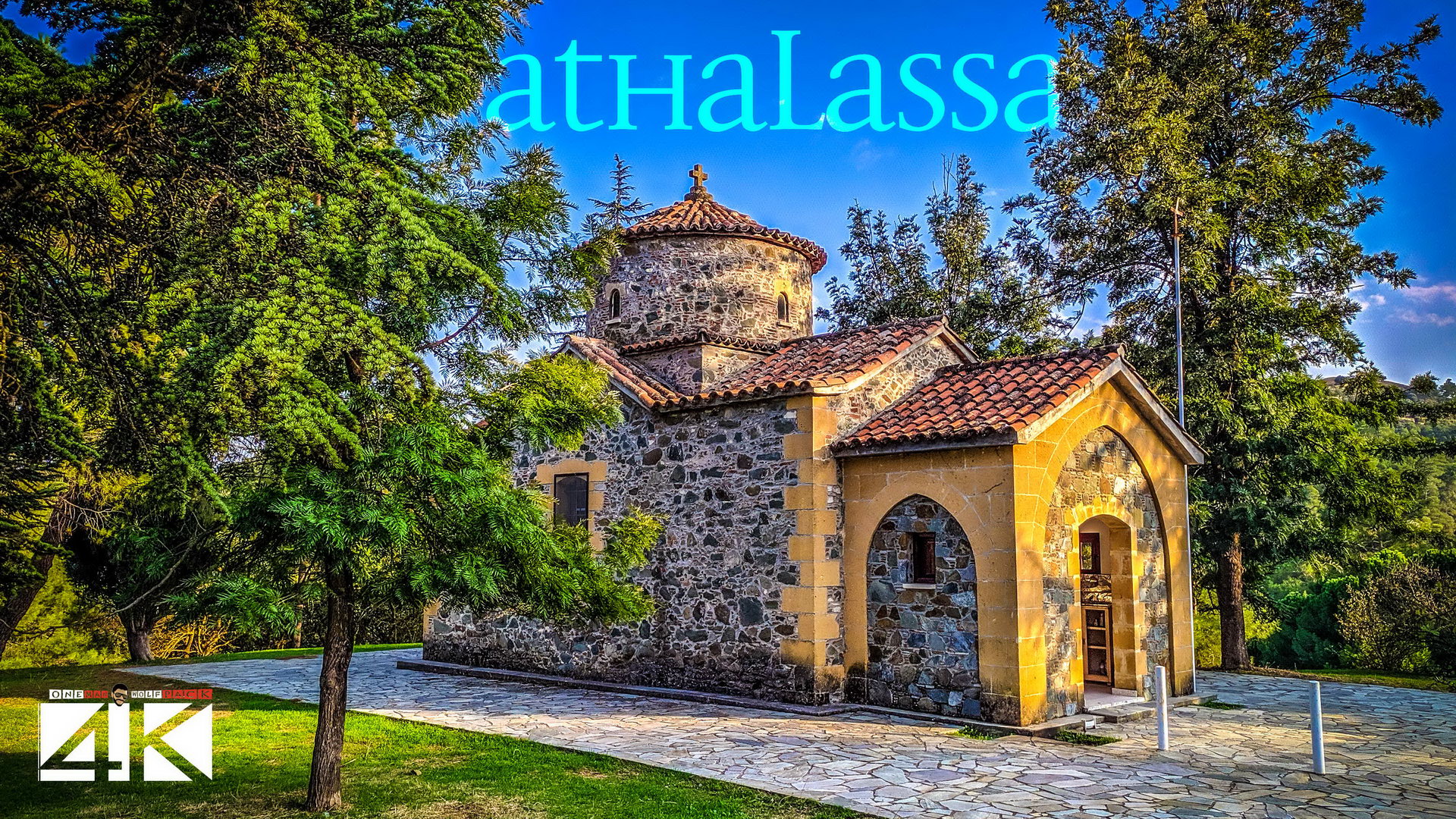
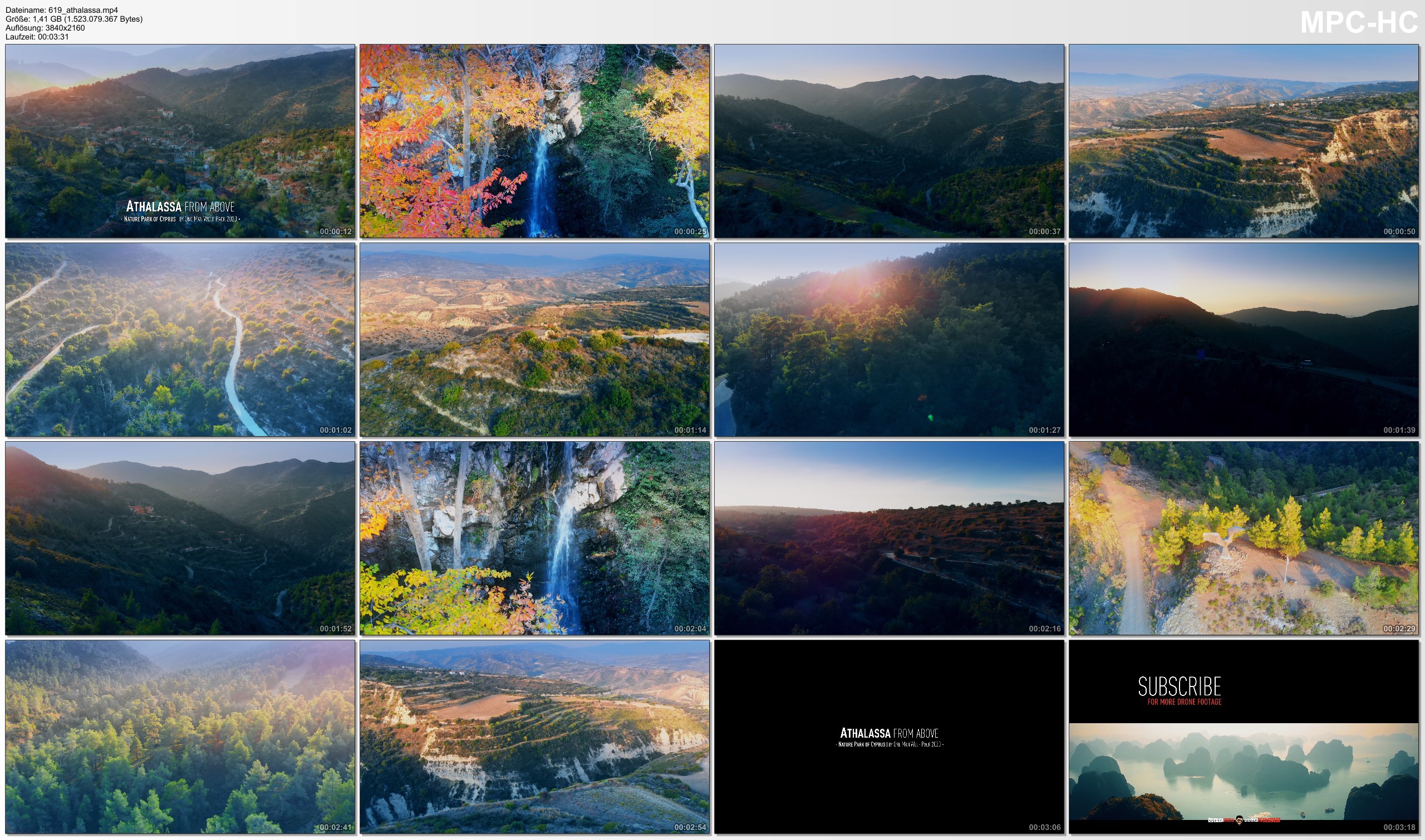
The final 4K footage of my Sunset drone flights in the Athalassa National Forest Park (Cyprus); project finished & uploaded on 2020-05-04 by One Man Wolf Pack UltraHD Drone Footage.
Media data: This drone video (Internal ID 619, taken in 2019 and published in 2020) is an extraction of my Athalassa 4K Drone Video Footage & Athalassa Drone Pictures. Copyright protected Footage and Photos on Sale.
About Athalassa: Aglandjia (Greek: Αγλαντζιά [locally [aɣlaˈnd͡ʒa]]; Turkish: Eğlence) is a suburb and a municipality of Nicosia, Cyprus. The municipality has a population of 20,783 (2011) and is contiguous with Nicosia Municipality. Aglandjia is near the buffer zone. It has an area of about 31 km2, of which 14 km2 are agricultural land occupied by the Turkish army since 1974. Of the remaining 17 km2, 9 km2 are national forest parks (Athalassa park, 8.6 km2 and Pedagogical Academy park 0.4 km2). Aglandjia is Nicosias highest suburb, since its largest part is built either on hills or at tableland level. Aglandjia was built in mediaeval times, before Ottoman rule, on an important site for defensive purposes, which also offered natural resources and a healthy climate. Aglandjia contains many green spaces. The largest is the big lung of Nicosia, Athalassa Forest, but the municipality also offers Ayios Yeorgios Park, Aglandjia Municipal Park, and 45 small parks and green spaces. Aglandjia is built along the road that led from Nicosia to Larnaca before the invasion. Two trapezoidal hills overlook the road on both sides. The hill on the north is Arona hill, which is now under Turkish occupation. The hill on the south is called Aronas of Athalassa or Mount Lion or Liontarovounos. [Source: wikipedia // Google]
Among others, you will see following places by Drone (Keywords): Relax, Relaxation, Nature, Scenes, Ambient, Calming, Healing, Chill, Chillout, Music, Dynamic, Stress, Relief, Beach, Ocean, Water, Mountains, Athalassa, National, Forest, Park, Trees, Sunset, Daylight, Cyprus, Central Cyprus, Nicosia, Nikosia, Aglandija, Limassol