Adenisot
 lvl.2
Flight distance : 11501778 ft
Indonesia
Offline
|
Hi Dear Community
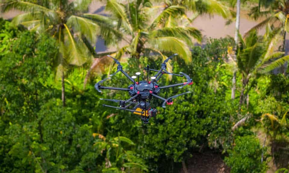
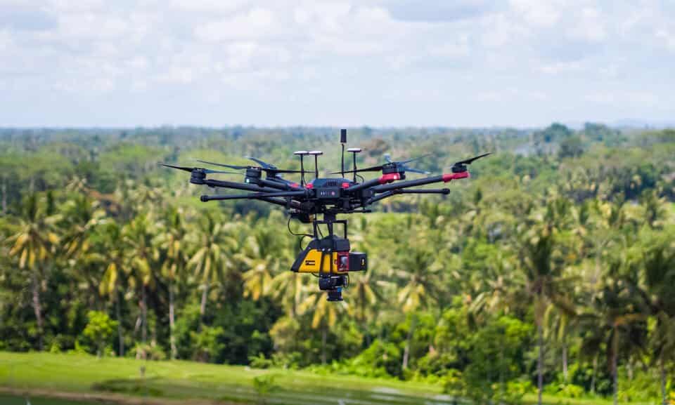
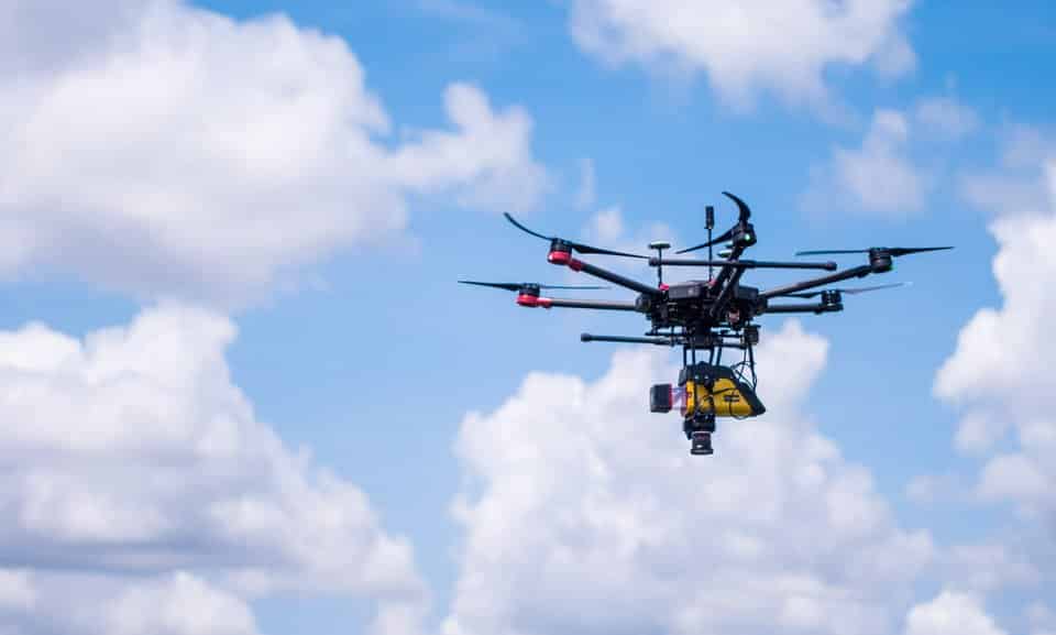
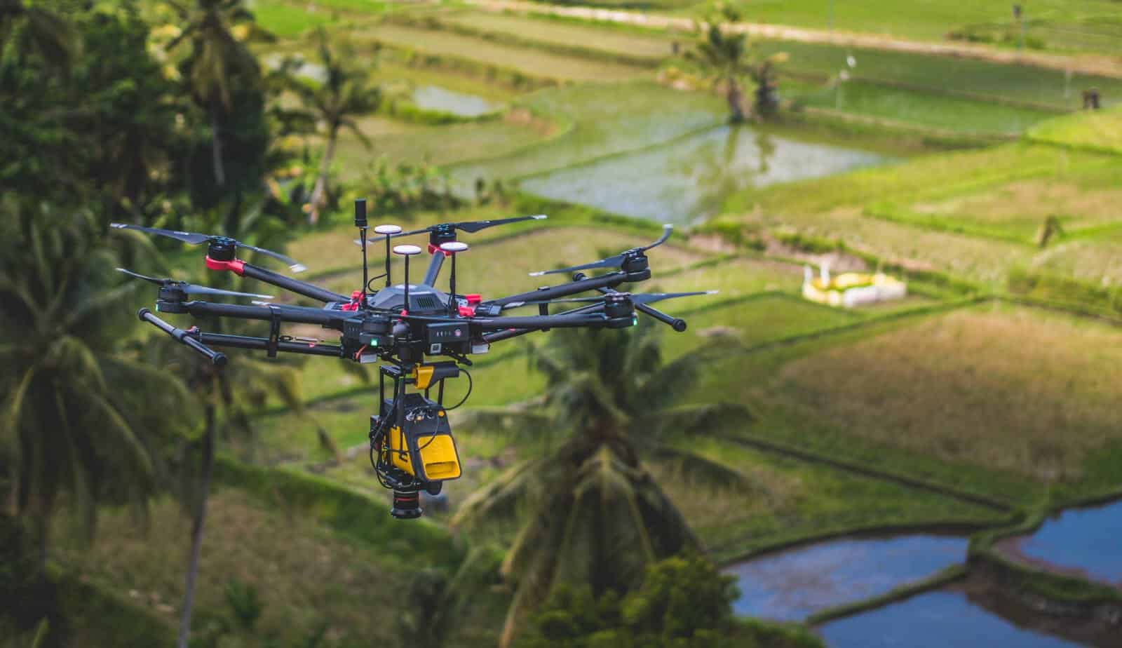
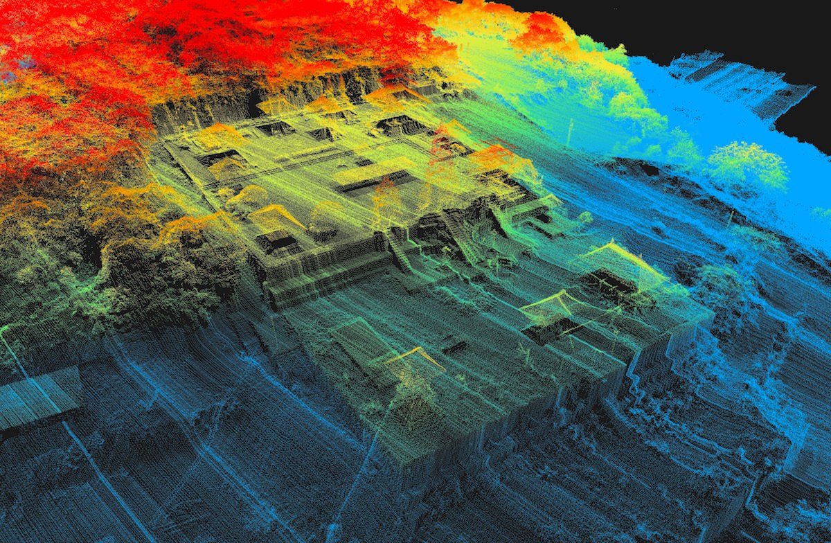
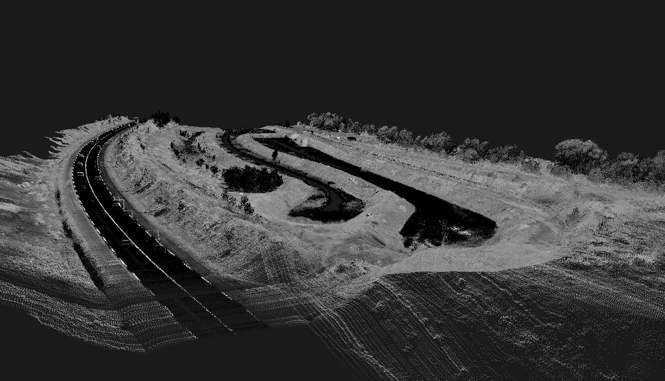
I Just want to share with you some photos of my new drone and Lidar flying. I am so glad to enter in a new game with this equipment and I hope I will reach some news opportunities.
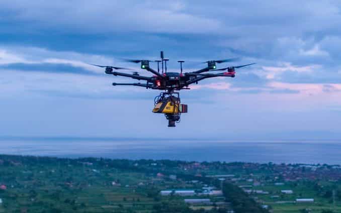
The drone is an M600 Pro equipped with tb48s batteries and the lidar is the VX-15 from yellowscan with the Riegl sensor Minivux-1uav. We have a time flight of approximately 30 Minutes and we can cover around 50ha to 70ha in one flight.This lidar is just awesome, it is almost a military-grade when you see the result of the map. This lidar is able to take 100'000 points per second with an accuracy of 1cm at 200meters.
Here the photos :
If you have any questions or need more information let me know, I will be happy to answer you.
And if you have time, take a minute to visit my website: https://www.msdi.co.id
I am providing UAV solutions for industry and topography in Indonesia: Drone Mapping, High accuracy for real estate or civil engineering survey project, forest management, Oil & GAS, corridor, mining, 3D model, Archaeology, Asset inspections etc...
have a good day guys, and stay safe
Arnaud
|
|


