DroneMapper
 lvl.3
Flight distance : 6880 ft
United States
Offline
|
Hello,
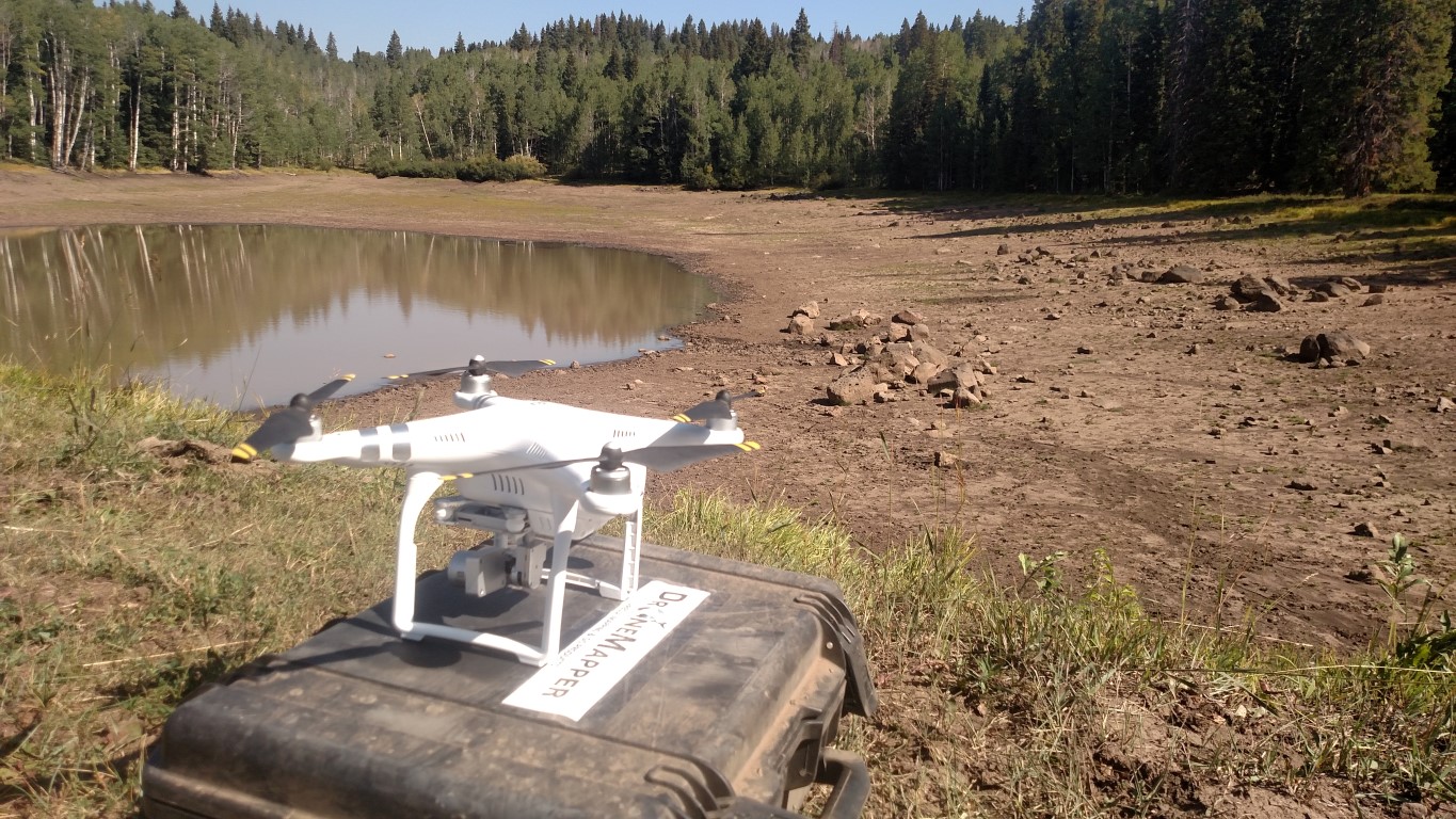
I would recommend testing either the Map Pilot for iOS app or DJI's GS Pro application for remote mapping missions. We've had great luck with both. Here is an example project we completed in the Colorado backcountry where there is no internet, 3G, 4G, cellular connectivity. Let us know if you have any questions. Thanks,
DroneMapper
Remote Drone Mapping on Grand Mesa, Colorado
Exact versions of software used:
Phantom 3 Advanced Firmware: 1.8.10
MapPilot Version: 1.5.0 build 031916
DJI Go App Version: 2.8.6
Ipad Mini4 iOS Version: 9.3.3
Remote Expert Version: v0.8 b20170829-842 x64
Global Mapper Version: v18
https://dronemapper.com
|
|


