PascoCounty SAM
 lvl.2
United States
Offline
|
DJI-Mark Posted at 2018-2-12 10:12
1.What is the D-RTK?
D-RTK is a high-precision navigation and positioning system that integrates advanced software algorithms with a GPS+BDS or GPS+ GLONASS dual-band, four-frequency receiver. The D-RTK system is compatible with a range of airframes, and gives the equipped system centimeter-level positioning accuracy both horizontally and vertically.
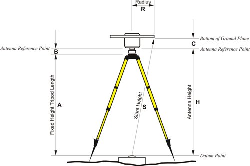
Thank you DJI Mark. I appreciate your reply, D-RTK, and GPS definitions. My actual question was regarding the actual phase center of DJI's D-RTK GPS base station antenna. Generally the actual phase center (the zero position where all the pseudoranges from the GPS satellites converge) is actually somewhere in the antenna dome. Now, what interests Surveyors and Mappers, because we require real world Absolute precision and accuracy on the real Earth or ground, not only relative precision, is ....what is that distance from that antenna phase center to the center of the base plate where the tripod attaches? You see, that spot on the bottom of the plate will actually be over a designated point on the ground, you call them GCP's or Ground Control Points. We require this offset so we can calculate the actual position on the ground and not just to the antenna phase center. This way we can place a target on the ground and use it for Photogrammetry control on adjusting our data. I hope I explained my question. Sorry for the confusion.
Thank you,
Alex W. Parnes, PSM
County Surveyor
Pasco County, Florida |
|